

Additional features
-
Night mode
Farmers granted full control over crop selection and land data reporting
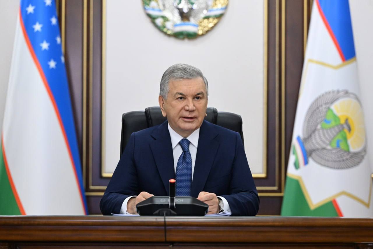
Photo: Presidential Press Service
Farmers will now decide for themselves what crops to plant on their land and will independently input relevant information into the agricultural digital platform. This was announced at a meeting chaired by President Shavkat Mirziyoyev on July 31, which focused on the use of space-based data and digitization in agriculture.
Plans were outlined to offer financial support for cultivating certain crops, implement contour-by-contour water accounting, purchase 100 agricultural drones, and introduce legal restrictions on burning crop residues such as straw.
Satellite data exposes gaps in land use reporting
Following the presidential decree issued on October 14, 2024, the Uzbekkosmos agency began introducing aerospace technologies across economic sectors, providing a clearer picture of the real state of agriculture and irrigation.
Over the past two years, more than 4 million hectares of farmland have undergone satellite monitoring. The findings revealed discrepancies between reported data and actual field conditions – in some cases, cotton was not planted where records claimed, and some crops were planted on reserve or unregistered plots.
As a result, a remote monitoring system will be established to track how concessional government loans are actually used.
Outdated water management systems hinder irrigation
Due to climate change and growing water scarcity, Uzbekistan is shifting to drought-tolerant crop varieties and modern agrotechnologies. However, current irrigation water quotas no longer meet real-life requirements. The existing hydromodule zoning system has become outdated, and over 3,000 farms located at the tail ends of irrigation canals are not receiving sufficient water.
To address this, the irrigation norms and hydromodule zoning will be fully updated in collaboration with agricultural and water management research institutes.
It was also noted that farmers still lack accurate measurement of the water they use. Authorities emphasized the need for full digitization of all stages of water usage and the introduction of contour-level water accounting.
Smart monitoring of water reservoirs to be expanded
Until recently, reservoir capacities were calculated based on project estimates. Over the past two years, however, 60 major reservoirs have undergone their first-ever bathymetric analysis, revealing that sediment buildup has significantly reduced storage capacity in several of them.
To counter this, all reservoirs will be equipped with smart meters for real-time water monitoring, and sediment removal efforts will be increased.
“Lnd and water are decisive for the future of our agriculture,” said President Mirziyoyev.
Single digital platform to streamline farmer access
Special attention was given to the digitization of the sector. Currently, farmers interact with more than 30 different platforms for land registration, loans, subsidies, and agro-services. To simplify this, a unified integration platform called “Digital Agriculture” will be launched.
Farmers will now personally determine what to plant on their land and enter this information into the platform. This will enable authorities to track primary, secondary, and late-season crops in advance – a crucial factor for food security, price stability, and farm income.
Drones, incentives, and new regulations on the horizon
A new commission, led by Deputy Prime Minister Jamshid Kuchkarov, will be formed to ensure food security. Preferential loans and subsidies will be offered to boost production of under-supplied goods.
The use of drones in agriculture is also being prioritized. This autumn, over 100 modern drones will be imported. Officials have been instructed to involve the private sector in offering drone services to farmers.
The government also highlighted the need to legally restrict the burning of straw and crop residues, citing environmental and soil health concerns.
In addition, it was noted that space-based research is being used to analyze not only agriculture but also construction, cadastre, non-metallic mineral deposits, forest land, and pastures. Ministers and regional governors were tasked with reviewing this data and developing corresponding action plans.
Related News
14:42 / 26.07.2025
Cadastral Agency: Agriculture dominates land use in Uzbekistan
10:52 / 25.07.2025
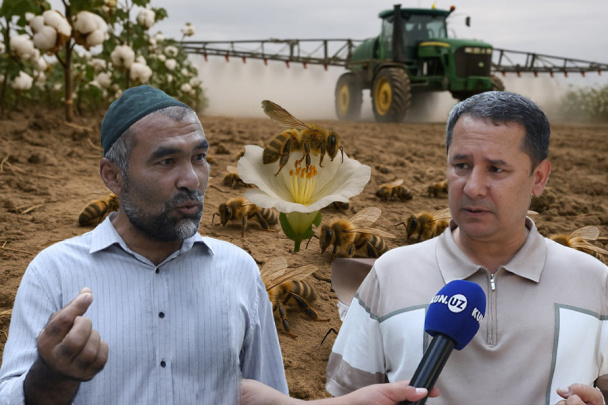
Chemical spraying threatens Uzbekistan’s beekeeping industry
11:10 / 23.07.2025
Business calls for VAT relief as farming costs rise, but Tax Committee pushes back citing low existing burden
17:59 / 19.07.2025